Skip to main content
10% off your first order
☰ Menu
Basket icon
Wishlist icon
Account icon
Search icon
Search icon
Inspiration
Collections
Astrophotography
Battles and wars at sea
Children's
Exploration
Graphic designs
Greenwich
Historic figures
Historic vessels
Maps and charts
Photography
Pirates
Seascapes
Time and space
Natural history
World travel
Ship plans
Gift cards
Contact
Contact us
Newsletter
Search art & photography
Search icon
Home
Collections
Maps and charts
Maps and charts
page 10
Showing 433 to 480 of 917
Featured
A-Z
Z-A
Oldest to newest
Newest to oldest
Bestselling
Products
Eastern Mediterranean
Joan Olivia
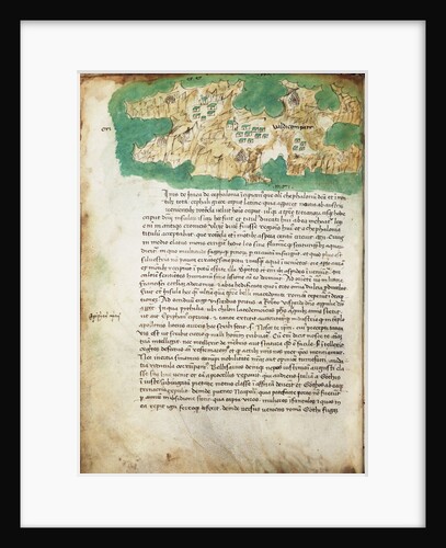
Chart of Ithaki
Cristoforo Buondelmonti
Iquique, Chile
Basil Ringrose
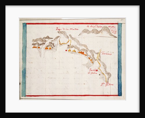
Bahia San Mateo
Basil Ringrose
Cabo Corrientes, Mexico
Basil Ringrose
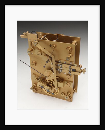
Astronomical regulator, movement front
Victor Kullberg
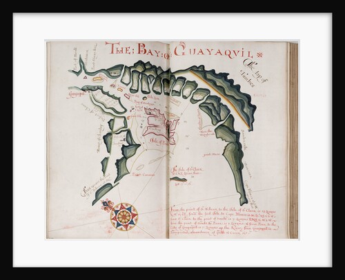
The Bay of Guayaquil
William Hack
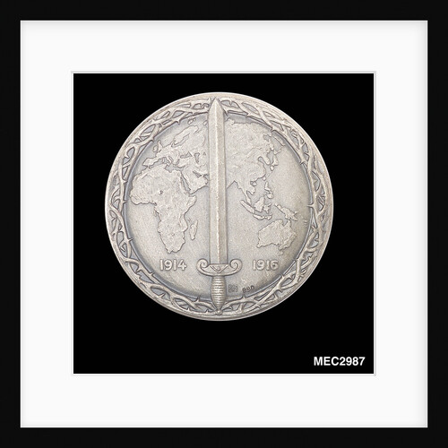
Commemorative medal depicting Kaiser Wilhelm II
unknown
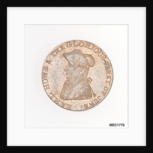
Token commemorating Admiral of the Fleet Richard Howe (1726-1799) and the Glorious First of June, 1794
T. Wyon
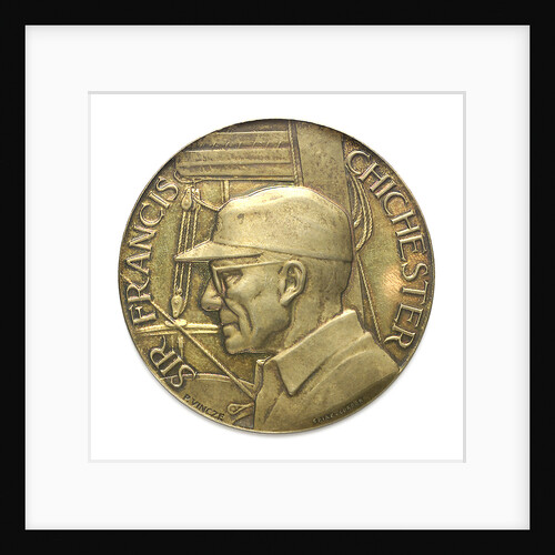
Commemorative medal depicting Sir Francis Chichester (1901-1972) and 'Gypsy Moth IV'; obverse
Spink & Son Ltd.
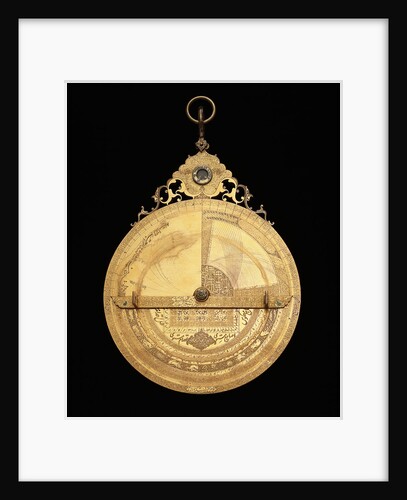
Astrolabe: reverse
Muhammad Mahdi al-Yazdi
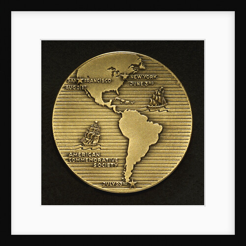
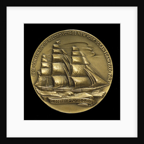
Medal commemorating the centenary of the voyage of the 'Flying Cloud', 1951; reverse
M.K. and Holland
Medal commemorating the centenary of the voyage of the 'Flying Cloud', 1951; obverse
M.K. and Holland
Medal commemorating the SS 'Rotterdam' and the Kiel Canal; reverse
B. Veth
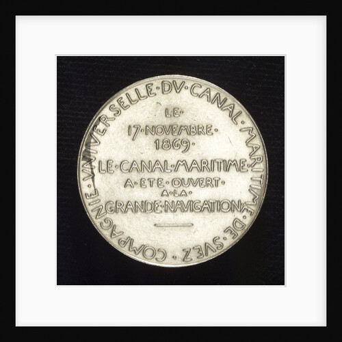
Medal commemorating the opening of the Suez Canal, 1869; reverse
O. Roty
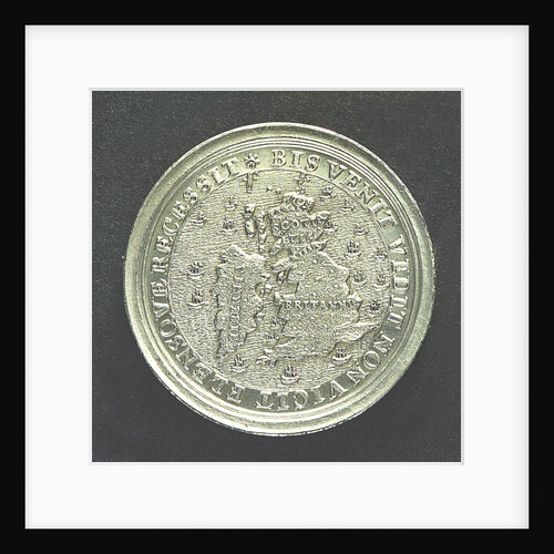
Medal commemorating the attempts of the Elder Pretender to recover the English Throne in 1708 and 1716; reverse
unknown
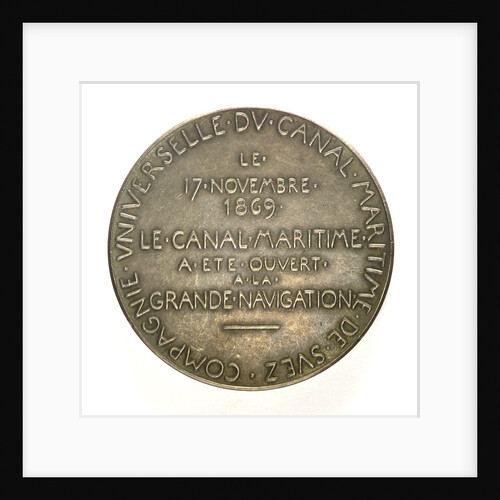
Medal commemorating the opening of the Suez Canal, 1869; reverse
O. Roty
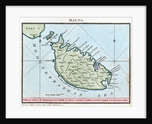
Chart of Malta
R. Bougard
Ivory ship and course
Charles Hatch
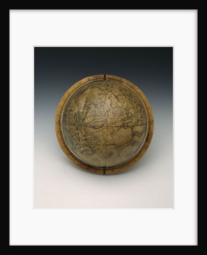
Celestial table globe
Gemma Frisius
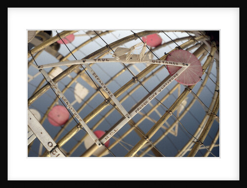
Sphere showing 315
Gemma Frisius
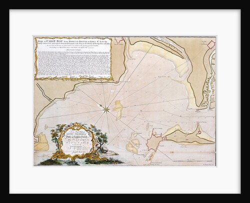
Chart of Cadiz
Joseph Smith Speer
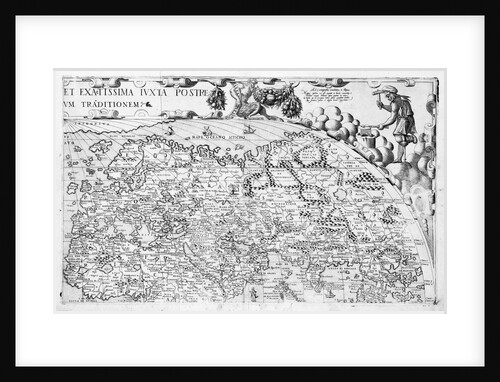
Section plate from Francesco Camocio's 'Cosmographia Universalis', 1567, taken from the atlas 'Tavole Moderne di Geografia'
unknown
Section plate from Francesco Camocio's 'Cosmographia Universalis', 1567, taken from the atlas 'Tavole Moderne di Geografia'
unknown
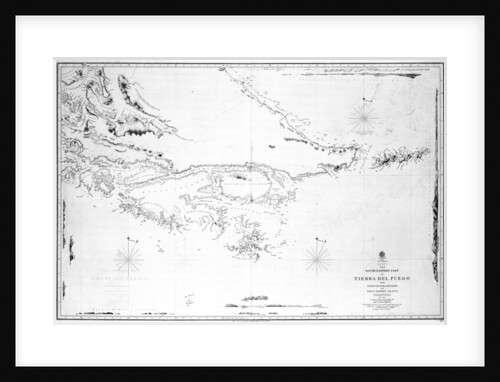
South America the south-eastern part of Tierra del Fuego with Staten Island, Cape Horn and Diego Ramirez Islands
British Admiralty
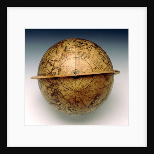
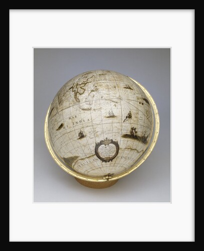
Terrestrial globe
Jacob Aertsz Colom
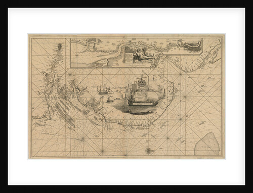
Chart of the harbour of Rio de Janeiro, Brazil
Edward Gennys Fanshawe
A New and Correct Chart of the Coast of New England and New York with the adjacent parts of Nova...
W.A. Williams
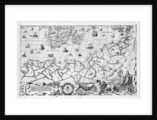
Map of Africa, 1564 - 1 of 8 sheets
Giacomo Gastaldi
Map of Africa, 1564 - 1 of 8 sheets
Giacomo Gastaldi
Page 35 from 'The English pilot : the first book: describing the ... northern navigation ...'
John Seller
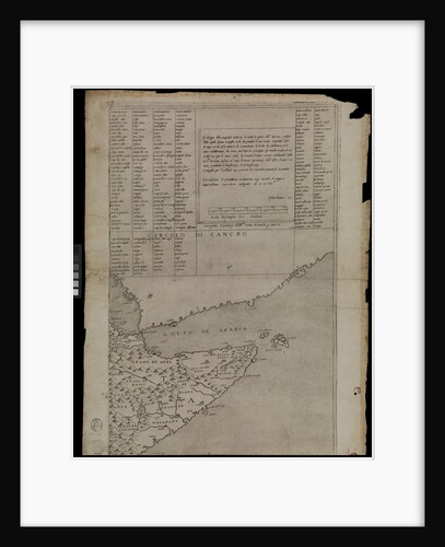
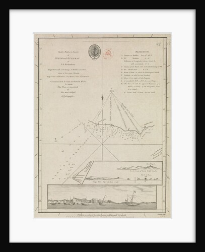
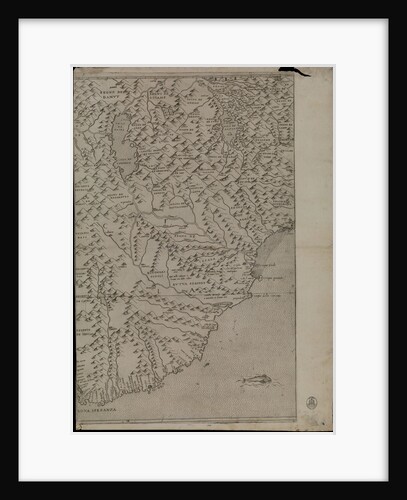
Chart of part of the coasts of Cutch and Guzarat by J G Richardson... communicated by Capt Archibald Blair to...
British Admiralty
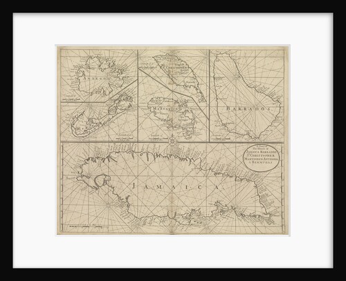
Chart of Jamaica, Barbados, St Christopher, Martinique, Antigua and Bermuda
John Seller
Map of Africa, 1564 - 1 of 8 sheets
Giacomo Gastaldi
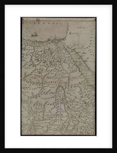
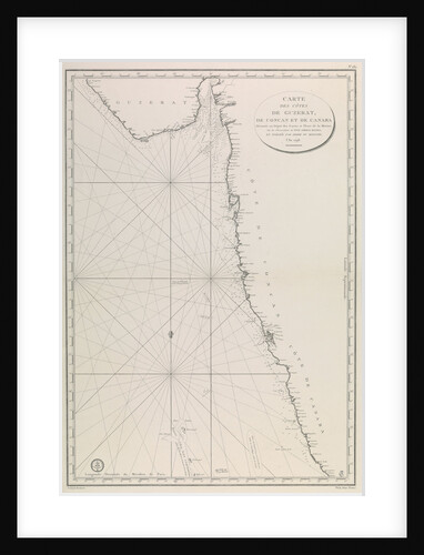
Map of the Gujarat coast
French Admiralty
Chart of River Thames from London to the Buoy of the Noure
unknown
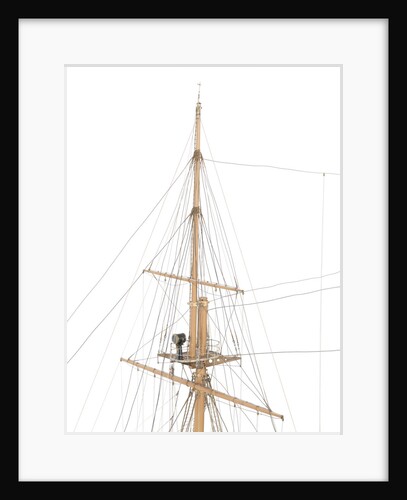
HMS 'Leviathan' (1901)
John Brown & Co. Ltd
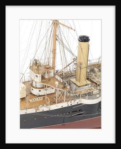
HMS 'Leviathan' (1901)
John Brown & Co. Ltd
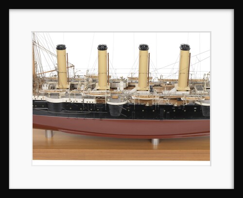
HMS 'Leviathan' (1901)
John Brown & Co. Ltd
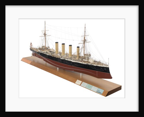
HMS 'Leviathan' (1901)
John Brown & Co. Ltd
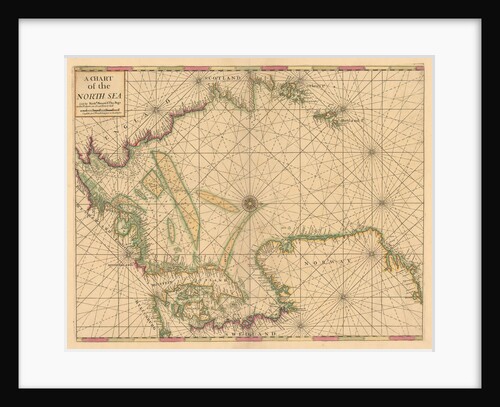
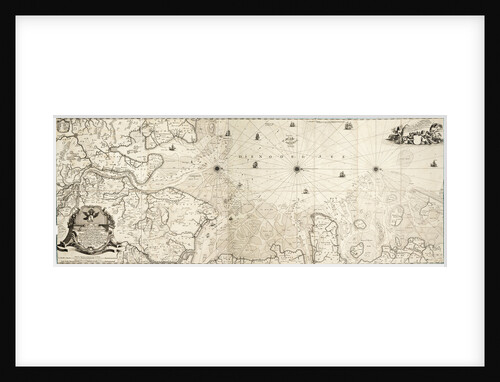
Chart of the North Sea: Norway to the Dover Straits
Mount & Page
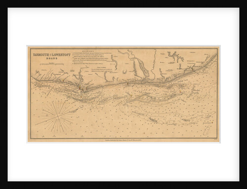
England East Coast: Yarmouth and Lowestoft Roads
James Imray & Son
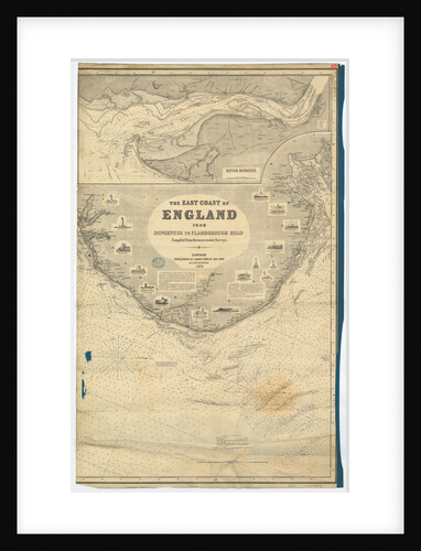
England East Coast from Dungeness to Flamborough Head
James Imray & Son
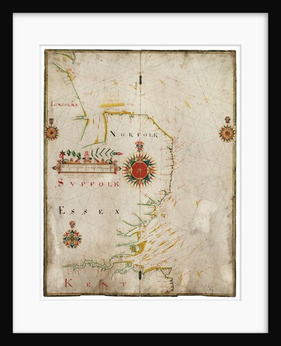
England, east coast, Spurn Head to South Foreland
John Thornton
Chart of the North Sea
Cornelius Martin Wohlers
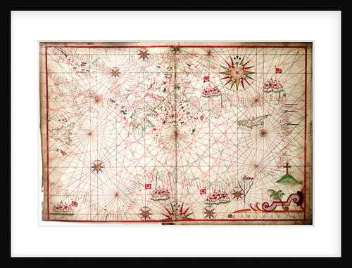
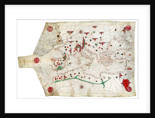
Portulan chart of Mediterranean Sea and NE Atlantic, this is the oldest portulan in the National Maritime Museum's collections
Jacopo Bertran
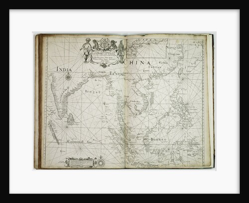
A chart of the trading part of the East Indies and China, with the adjacent islands, from Surrat to Japan
John Seller
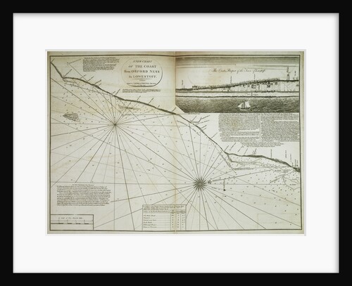
A chart of the coast from Orford Ness to Lowestoff, 1797
John Diston
« Previous
1
…
8
9
10
11
12
…
20
Next »
Recently viewed
Clear history